Public domain photos
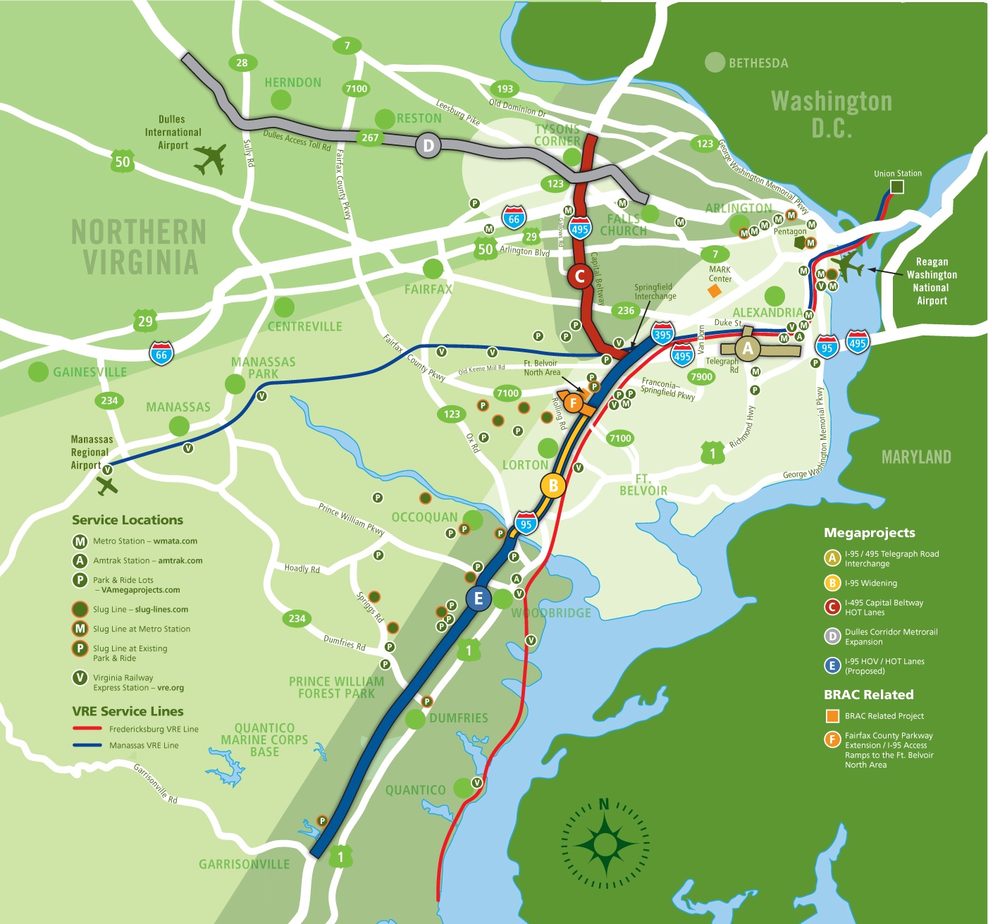
The image shows a poster of a map of the Virginia Metro System, with directions and text indicating the various stops along the route. The map is detailed, showing the various roads, highways, and other landmarks of the city. The text on the poster provides additional information about the route, such as the names of the stops and the estimated time it will take to complete it.
 Open in library