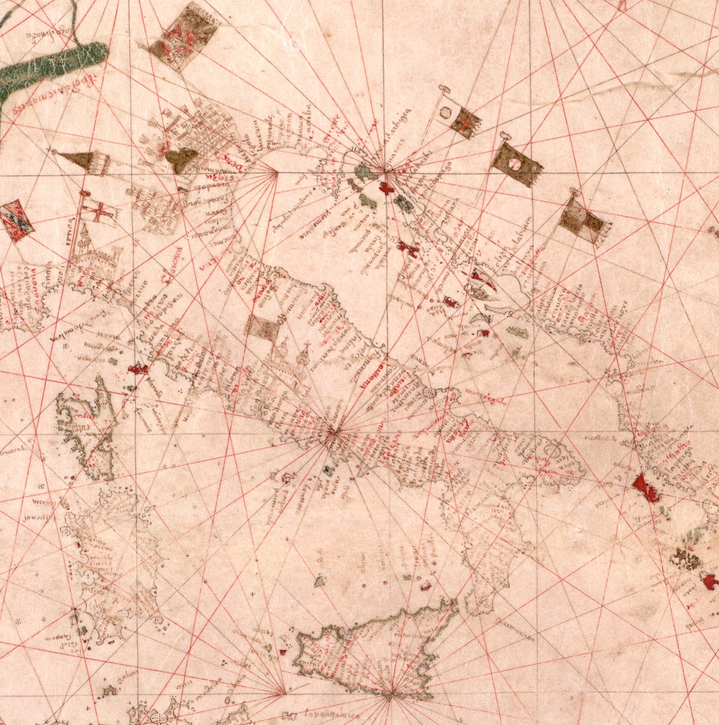
The image shows an old map of the British Virgin Islands with red lines indicating the extent of the Atlantic Ocean.
Read full description
The image shows an old map of the British Virgin Islands with red lines indicating the extent of the Atlantic Ocean. The map is filled with intricate details, such as the names of cities, rivers, and other geographical features, as well as the various bodies of water and islands. The red lines provide a stark contrast to the cream-colored paper, making the map stand out.