Public domain photos
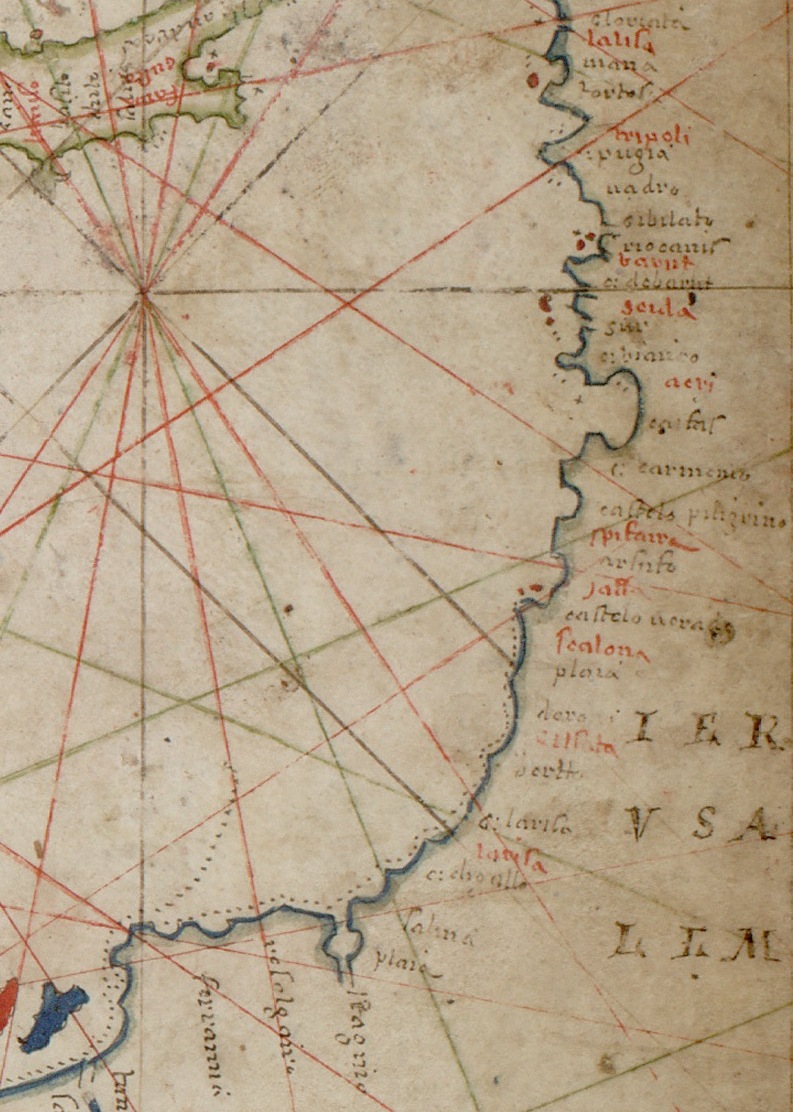
The image shows an old map of the British Isles with red lines radiating out from the center. The map is filled with text and numbers, providing detailed information about the region.
 Open in library
Public domain photos
Open in library