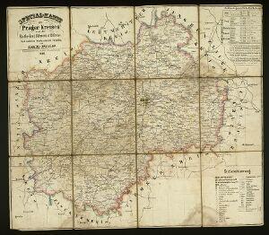
The image shows an old map of the Kingdom of England and Wales from the 17th century, with a black background.
Read full description
The image shows an old map of the Kingdom of England and Wales from the 17th century, with a black background. It is an original antique map from the 18th century and is of the Prussia region of Poland. The map is detailed and shows the borders of the region, as well as the names of the cities and towns.