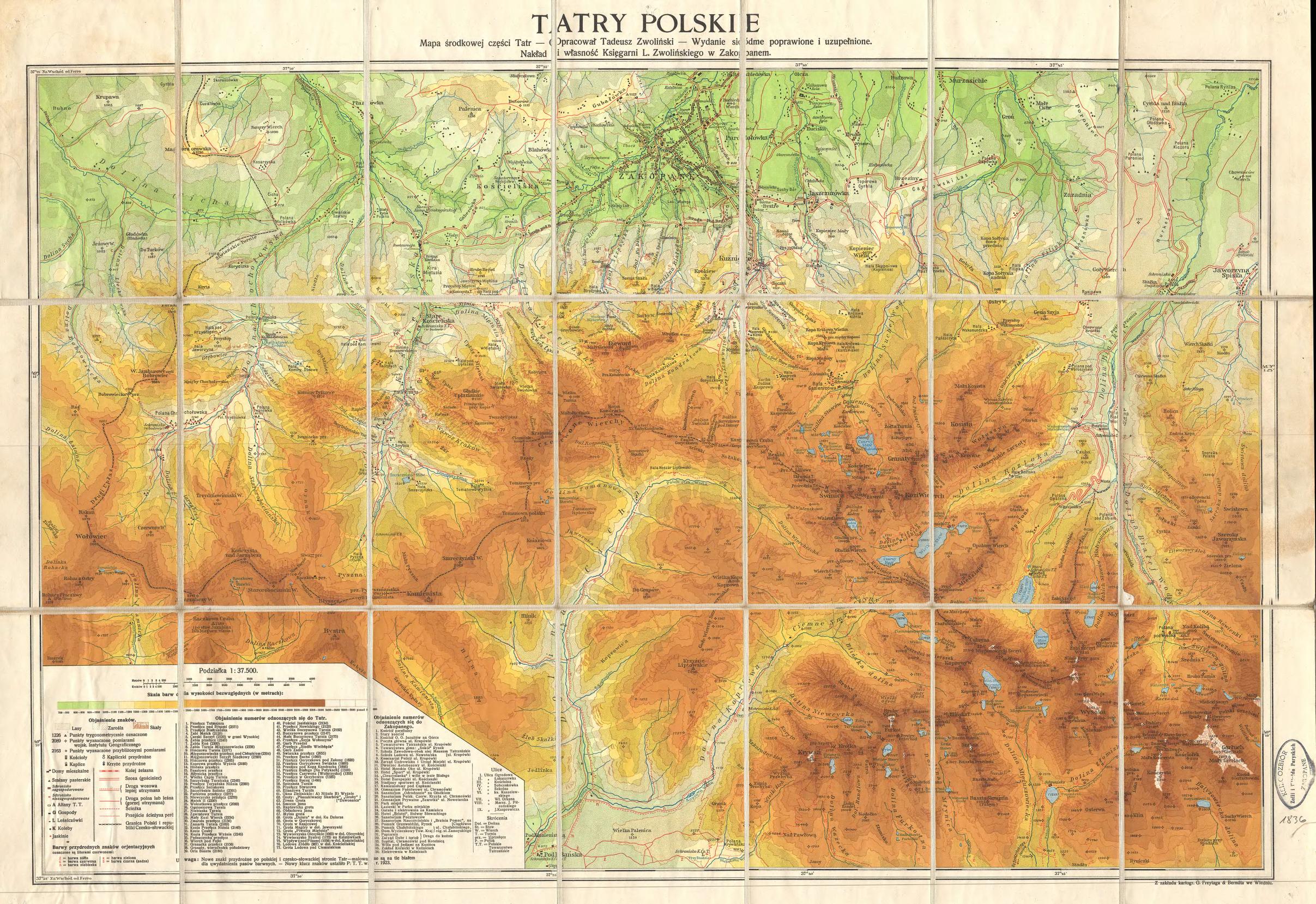
The image shows a topographic map of the Tatry Polska region of Poland.
Read full description
The image shows a topographic map of the Tatry Polska region of Poland. It is a detailed map with various features such as mountains, rivers, and valleys labeled. The map is filled with intricate lines and contours, giving it a realistic look. The colors used are mostly shades of green, brown, and yellow, with some hints of blue and white. The text on the map is written in a bold font, making it easy to read.