Public domain photos
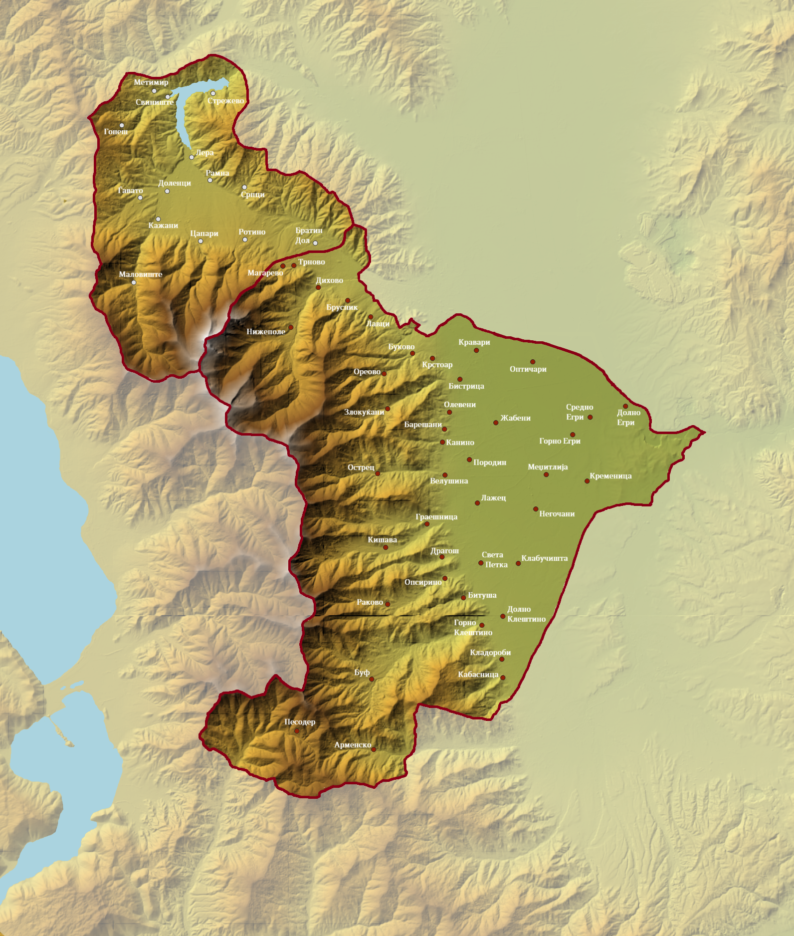
The image shows a physical map of the region of Afghanistan, with the provinces and their capitals clearly visible. The map is detailed, showing the various geographical features of the country, such as mountains, rivers, and cities, as well as the major cities and towns within the region. The colors used to differentiate the different regions are vibrant and the map is labeled with the names of the provinces, making it easy to identify them.
 Open in library