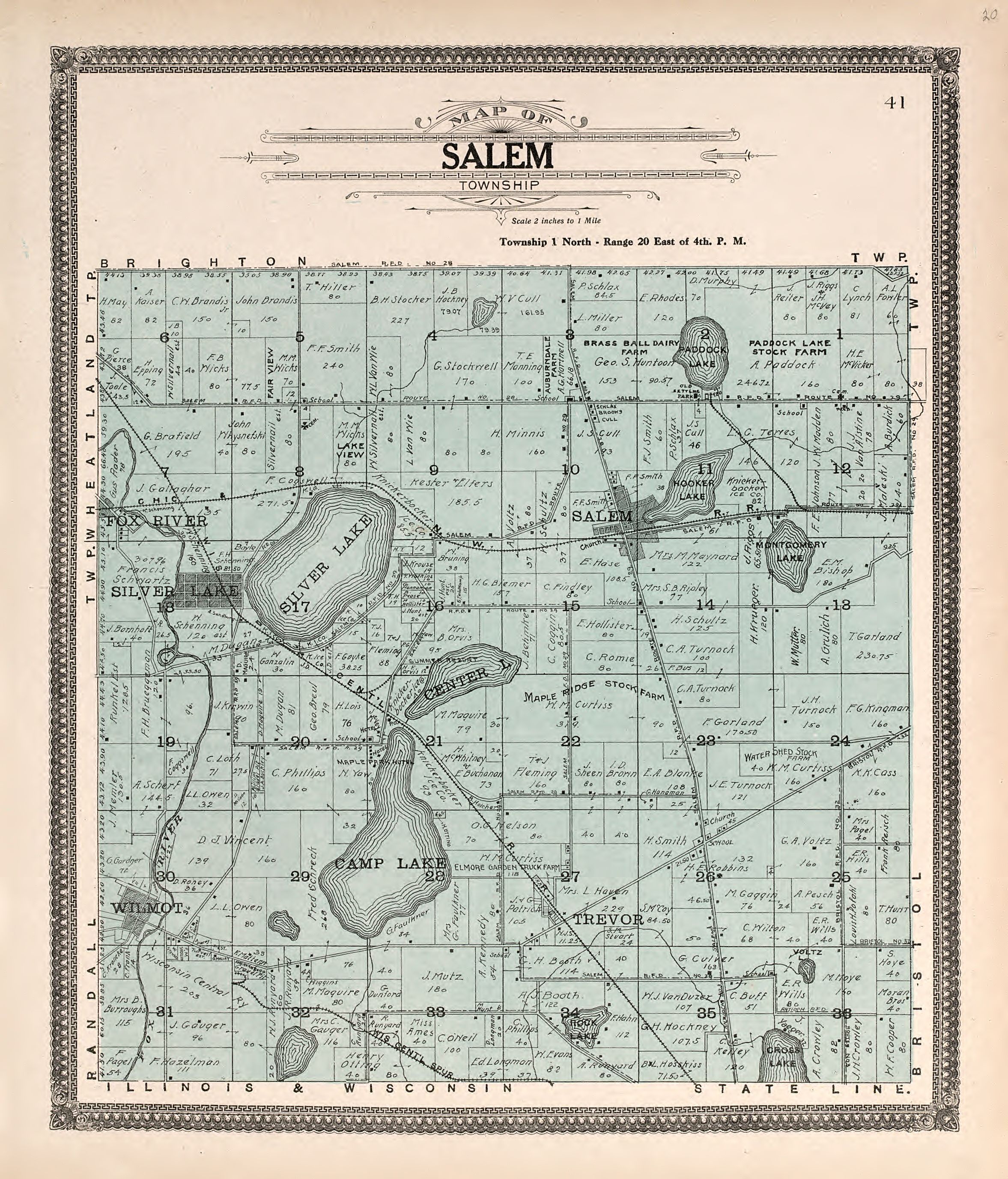
The image shows an old map of Salem, Illinois from 1876.
Read full description
The image shows an old map of Salem, Illinois from 1876. It is a detailed map with text at the top and bottom of the paper. The map shows the city's streets, parks, and other landmarks, providing a comprehensive overview of the area.