Public domain photos
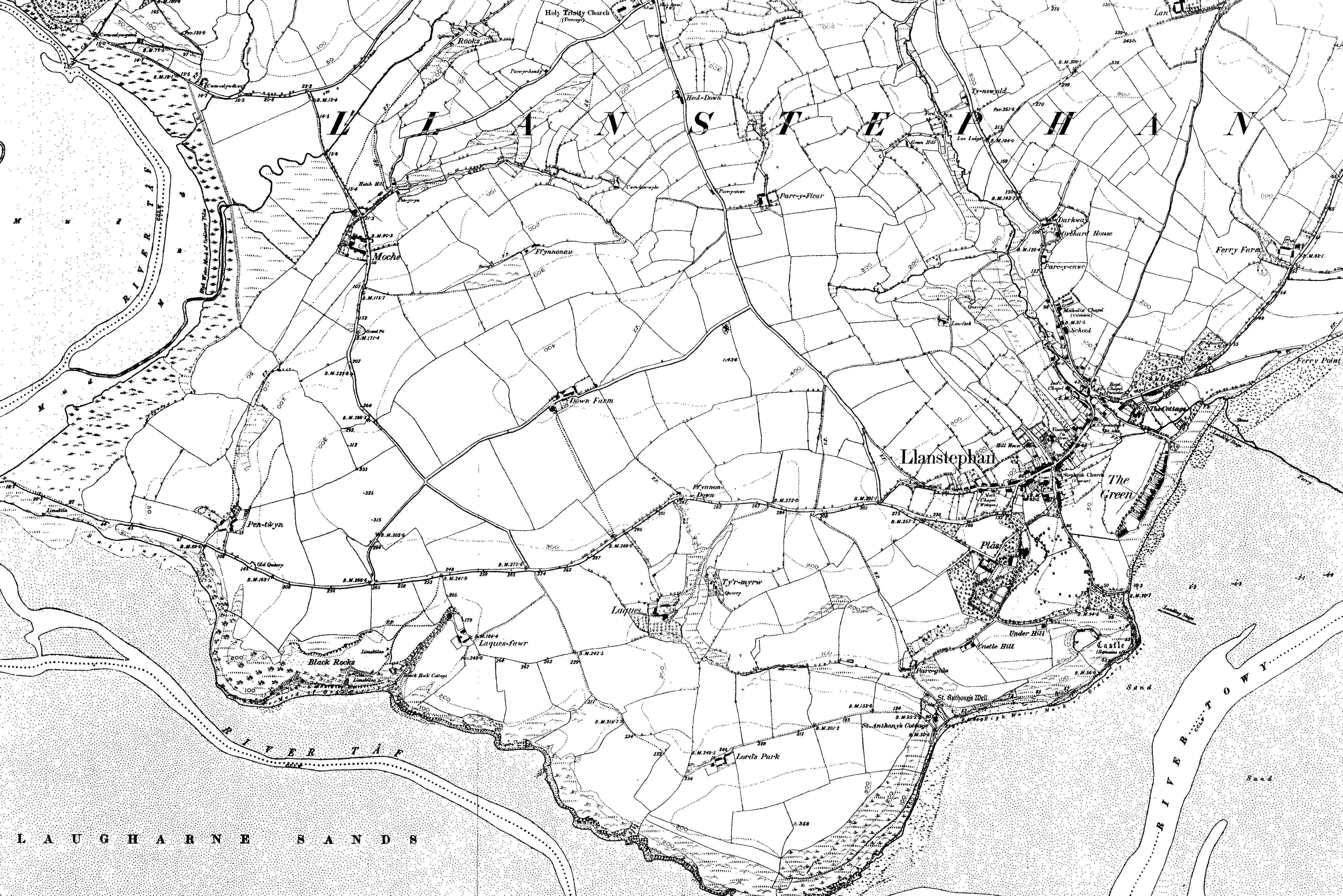
The image shows an old black and white map of the city of London from 1897, with the text "Larsenplan Ordnance Survey Map" at the bottom. The map is detailed and shows the city's streets, buildings, and other features.
 Open in library