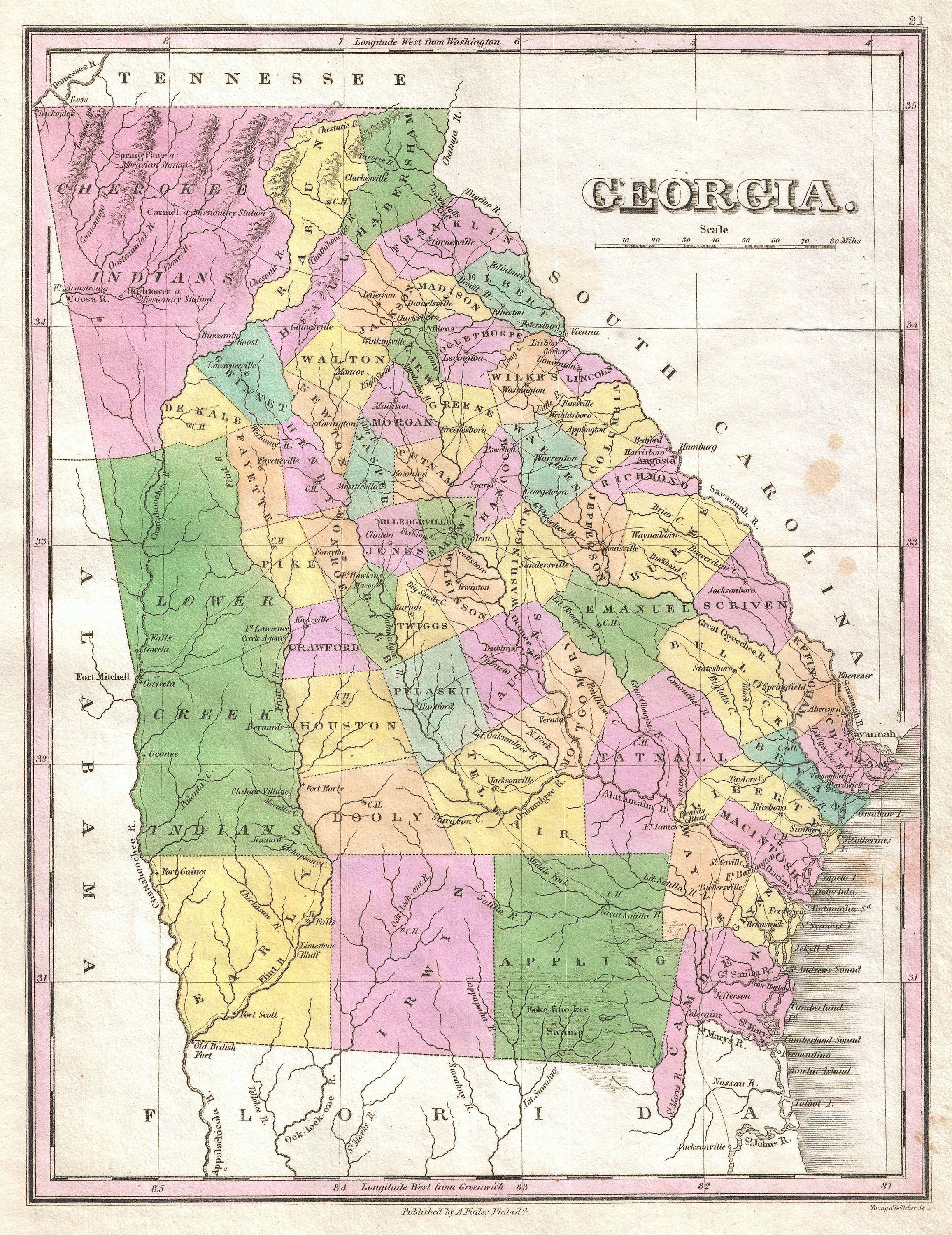
The image shows a map of the state of Georgia, with its counties and cities clearly visible.
Read full description
The image shows a map of the state of Georgia, with its counties and cities clearly visible. The map is printed on a paper, with text at the top and bottom of the image. The colors used are mostly shades of blue, green, and yellow, with some red and white accents. The counties are labeled with their names, and the cities are labeled as "Georgia," "Tennessee," and "Georgia." The map also includes a legend at the bottom, which explains the different colors used to represent each county.