Public domain photos
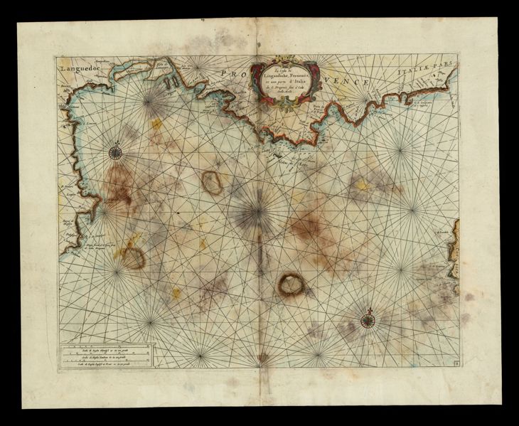
The image shows an old map of the British Isles, with a black background. The map is a topographic representation of the area, with various geographical features such as rivers, mountains, and cities labeled. It also includes a legend that explains the different colors used to represent different geographical features.
 Open in library