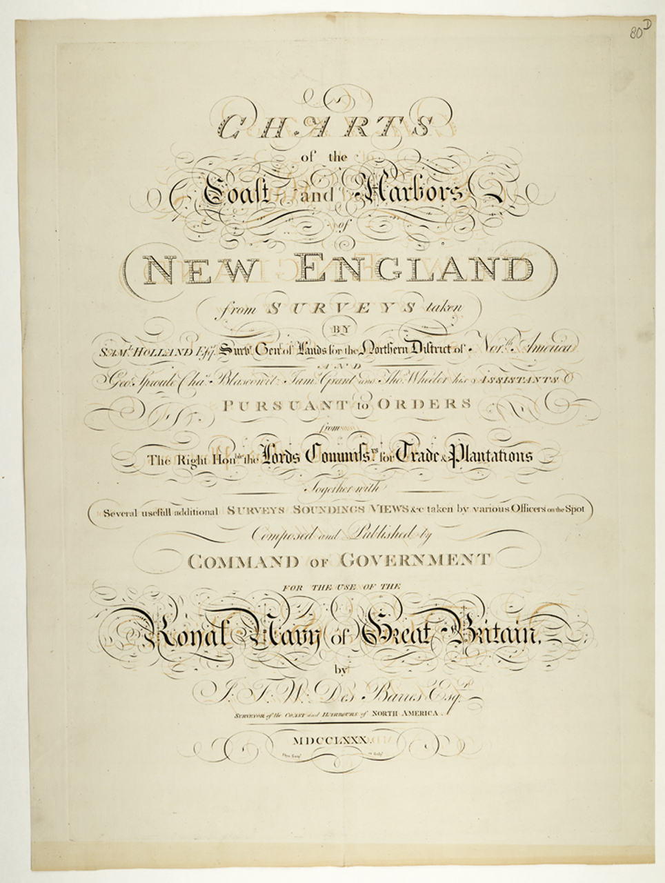
The image shows a paper with text written on it, detailing the charts of the coast and maribor of New England.
Read full description
The image shows a paper with text written on it, detailing the charts of the coast and maribor of New England. The paper is filled with detailed information about the various ports and islands of the region, including the names of the ports, the locations of the islands, and the distances between them. The text is written in a neat and organized manner, making it easy to read and understand.