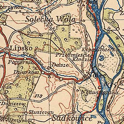
The image shows an old topographic map of the city of Solleka Wola from 1919.
Read full description
The image shows an old topographic map of the city of Solleka Wola from 1919. It is a detailed map with various features such as roads, buildings, and other landmarks clearly visible. The map is filled with intricate lines and shapes, giving it a realistic look.