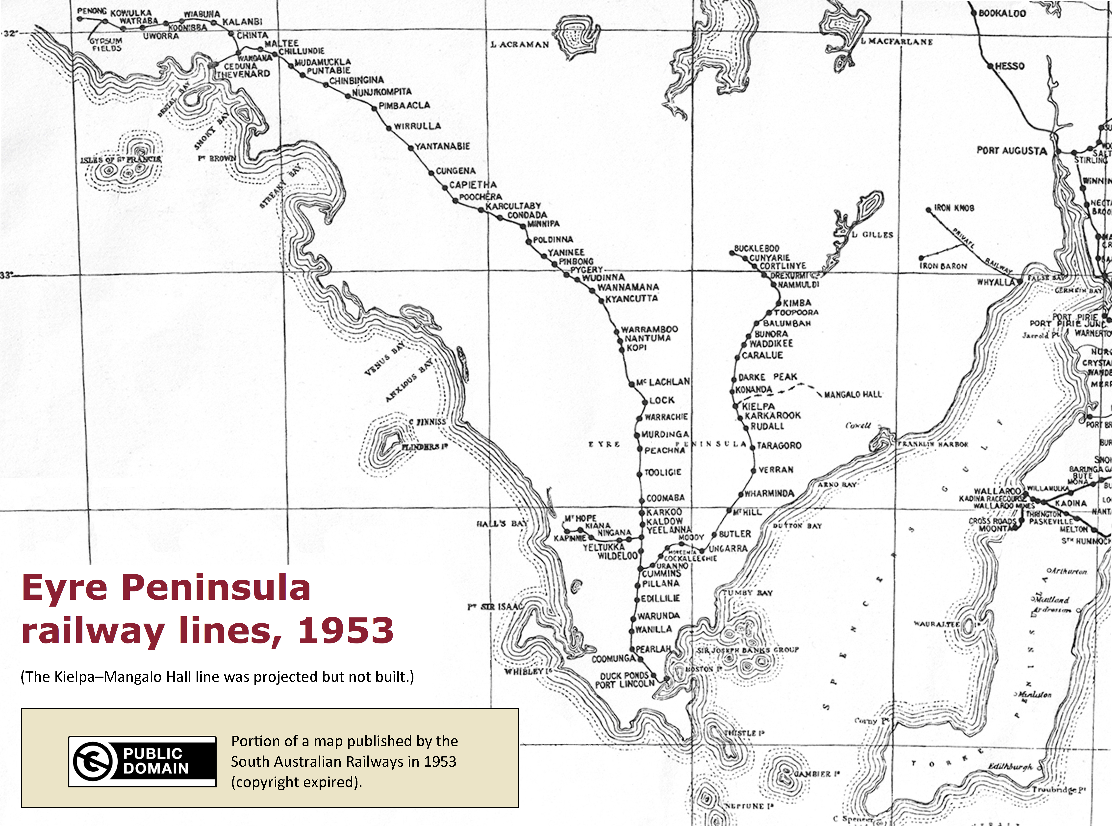
The image shows a black and white map of the Eyre Peninsula Railway Lines from 1953.
Read full description
The image shows a black and white map of the Eyre Peninsula Railway Lines from 1953. The map is detailed and shows the various railway lines that run through the peninsula, as well as the surrounding area. The text on the map provides additional information about the railway lines, such as their length, width, and location.