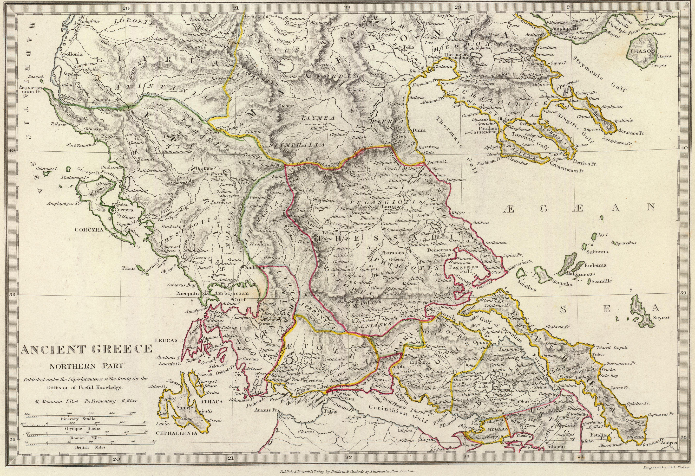
The image shows an ancient map of Greece with the provinces of the Aegean Sea and the Mediterranean Sea clearly visible.
Read full description
The image shows an ancient map of Greece with the provinces of the Aegean Sea and the Mediterranean Sea clearly visible. The map is filled with intricate details, including the names of the cities, rivers, and other geographical features of the region. The colors used are mostly shades of blue and green, with some yellow and red accents. The borders of the map are outlined in black, and the map is framed with a thin black border.