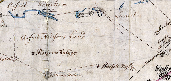
The image shows an old map with a drawing of a boat on it, which is believed to be a map from the 16th century depicting the route of the Afrid Kalfons Land.
Read full description
The image shows an old map with a drawing of a boat on it, which is believed to be a map from the 16th century depicting the route of the Afrid Kalfons Land. The map is filled with intricate details, such as the boat's sails, the shoreline, and the surrounding landscape. The text on the paper provides further information about the route, including the names of the cities and towns along the way.