Public domain photos
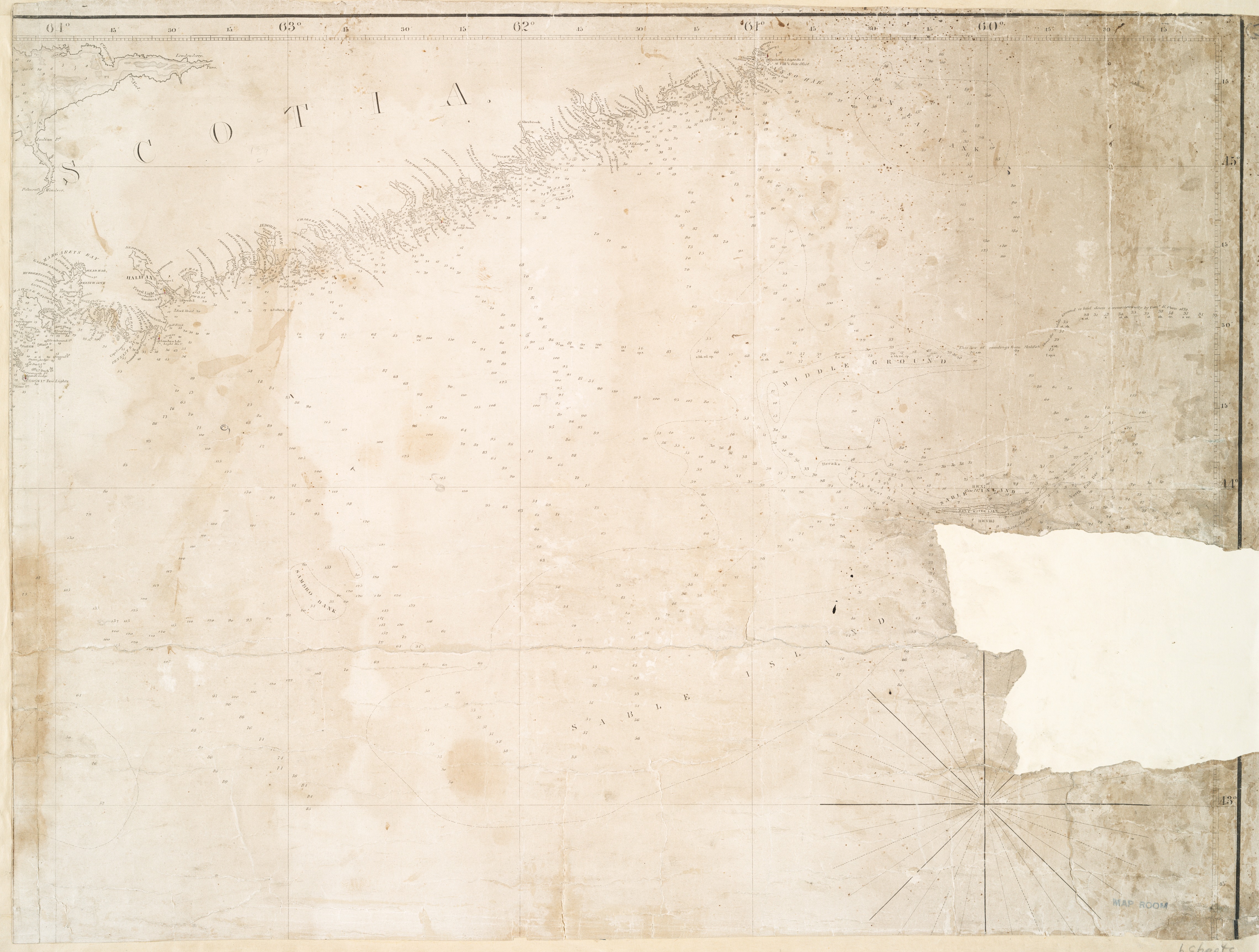
The image shows an old map of the British Virgin Islands on a piece of paper. The map is detailed and shows the various islands and bodies of water that make up the island. The paper also has some text written on it, likely providing additional information about the map.
 Open in library