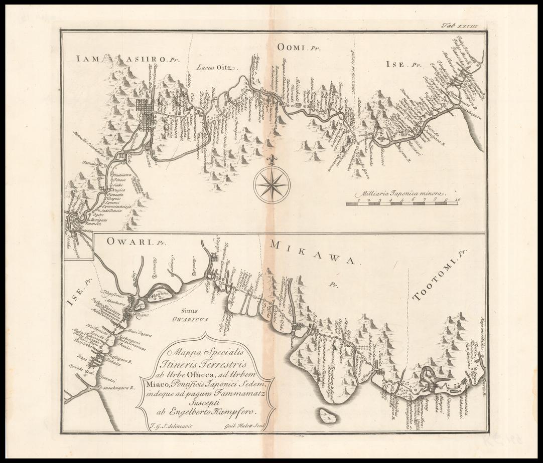
The image shows an old map of the British Isles with a compass in the center, surrounded by a black border.
Read full description
The image shows an old map of the British Isles with a compass in the center, surrounded by a black border. The map is detailed and shows the various geographical features of the area, such as rivers, mountains, and cities. The compass is a symbol of navigation, and the text on the map provides further information about the area.