Public domain photos
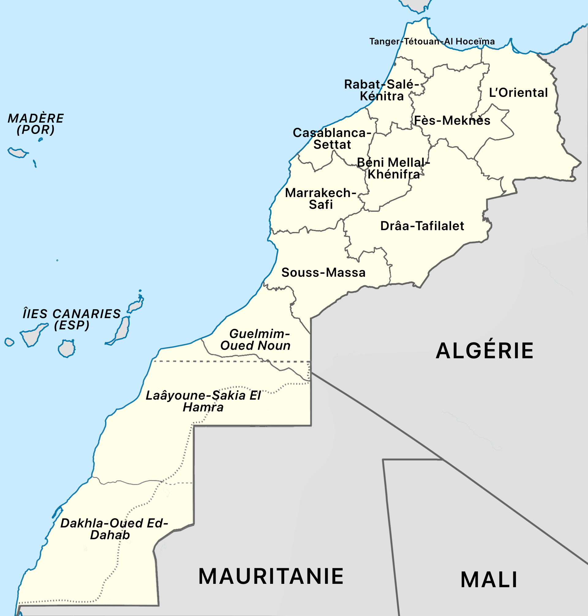
The image shows a political map of Mauritania, with its provinces and their capitals clearly visible. The map is filled with text, providing additional information about the country.
 Open in library
Public domain photos
Open in library