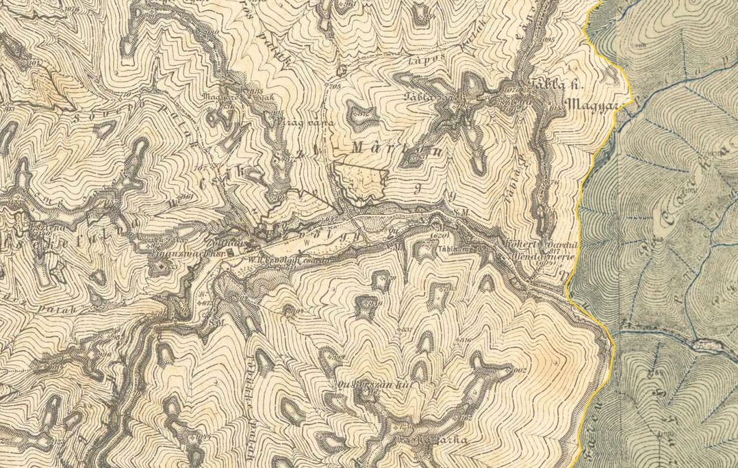
The image shows an old topographic map of the area with a yellow line in the middle, which is believed to be a topographical map from the early 20th century.
Read full description
The image shows an old topographic map of the area with a yellow line in the middle, which is believed to be a topographical map from the early 20th century. The map is filled with intricate details, such as mountains, valleys, and ridges, and the yellow line indicates the elevation of the terrain.