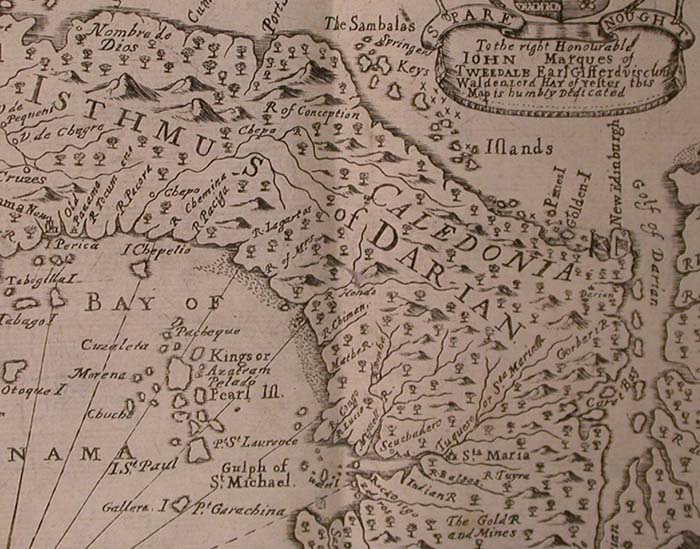
The image shows an old map of the British Isles, with text and a logo.
Read full description
The image shows an old map of the British Isles, with text and a logo. It is a detailed map, showing the various islands and bodies of water that make up the island. The map is filled with intricate details, such as mountains, rivers, and other geographical features. The text on the map is written in a classic font, and the logo is a shield with a crown on top.