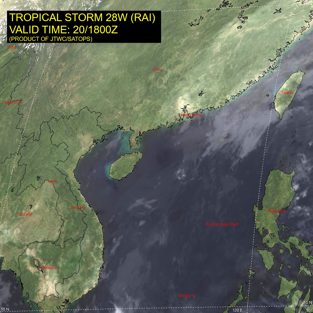
The image shows a satellite view of a tropical storm in the Pacific Ocean, with the text "Tropical Storm 28W Rai Valid Time 20/18/1800z" at the top.
Read full description
The image shows a satellite view of a tropical storm in the Pacific Ocean, with the text "Tropical Storm 28W Rai Valid Time 20/18/1800z" at the top. The map is filled with various shades of blue, indicating the intensity of the storm, and the text indicates the date and time of the event.