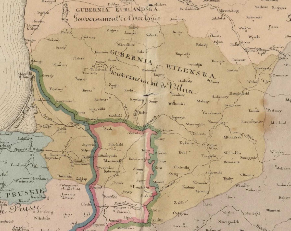
The image shows an old map of Poland with the provinces of Poland and Hungary clearly visible.
Read full description
The image shows an old map of Poland with the provinces of Poland and Hungary clearly visible. The text on the map provides further details about the region, such as the names of cities, rivers, and other geographical features.