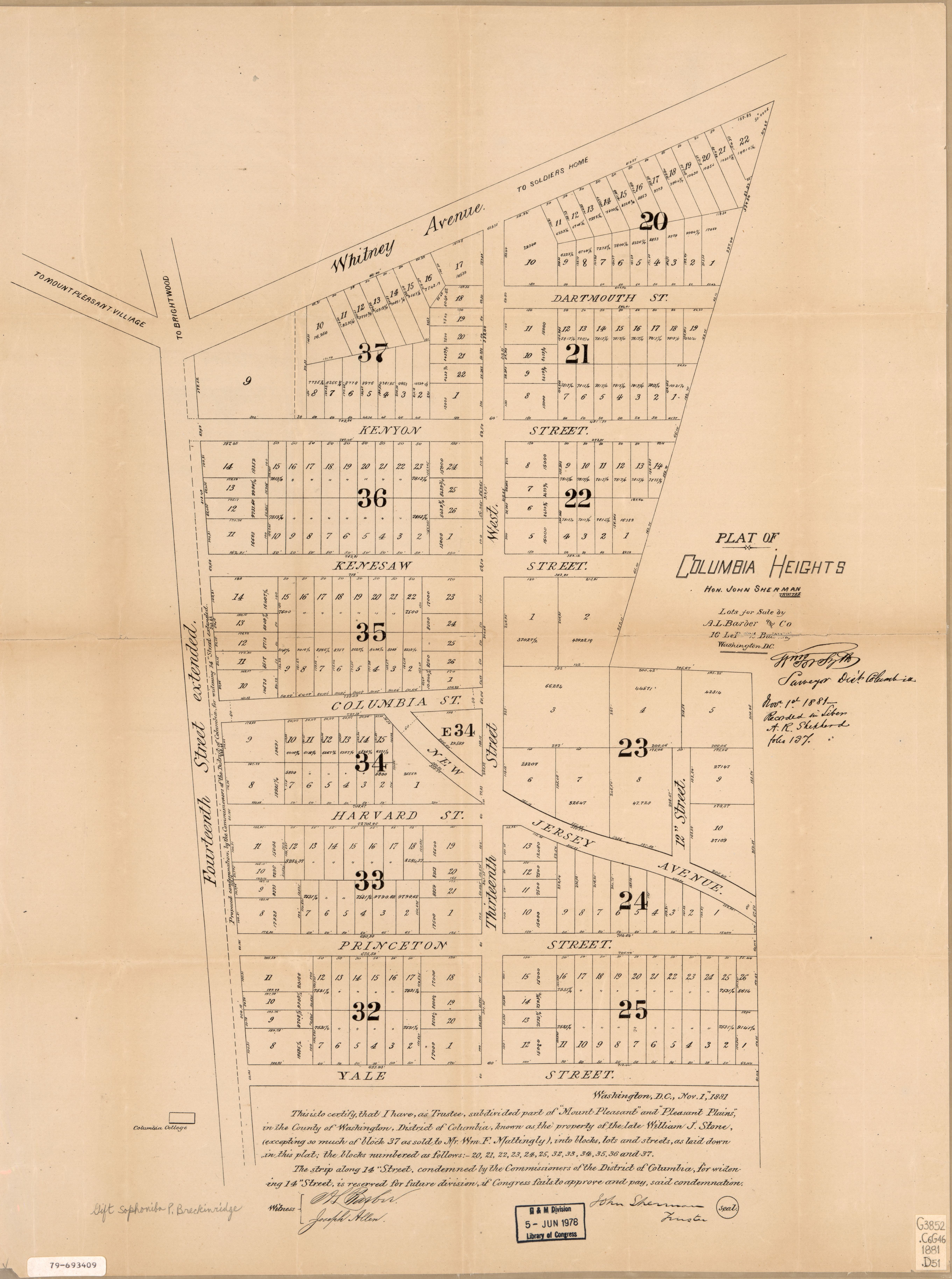
The image shows an old map of the city of Philadelphia, Pennsylvania, with a plan of Columbia Heights.
Read full description
The image shows an old map of the city of Philadelphia, Pennsylvania, with a plan of Columbia Heights. The map is printed on a piece of paper with text detailing the streets, buildings, and other landmarks of the area.