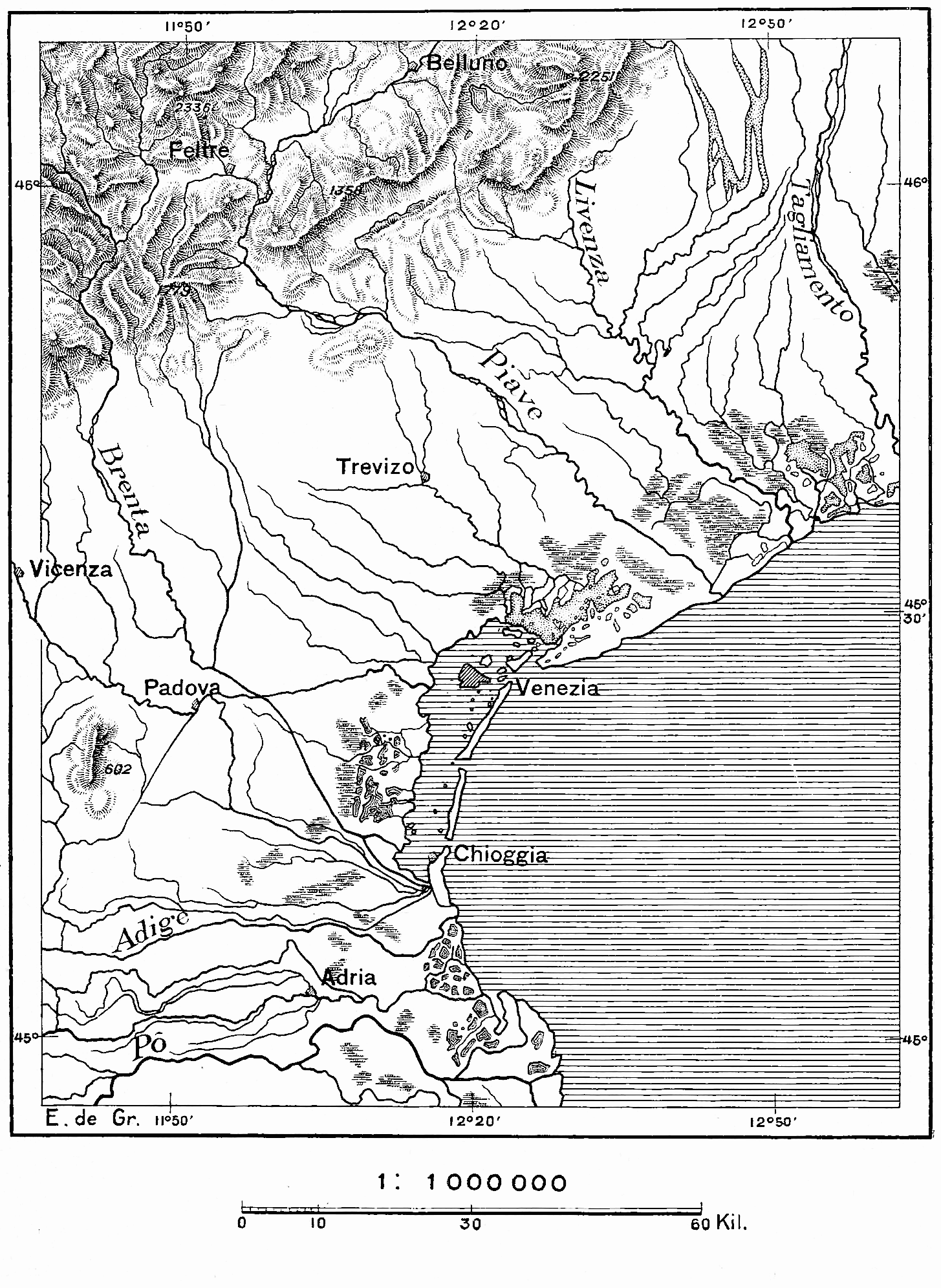
The image shows a topographic map of the area with lines and numbers indicating the elevation of the earth's surface.
Read full description
The image shows a topographic map of the area with lines and numbers indicating the elevation of the earth's surface. It is a detailed map that provides a comprehensive overview of the terrain, including mountains, rivers, and other geographical features. The lines indicate the various elevations of the land, while the numbers provide additional information about the elevation.