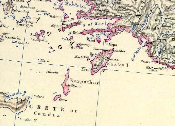
The image shows an old map of Greece from the 19th century, depicting the extent of the Aegean Sea.
Read full description
The image shows an old map of Greece from the 19th century, depicting the extent of the Aegean Sea. It is a detailed map, showing the various geographical features of the region, such as mountains, rivers, and cities, as well as the names of the cities and towns within the region. The map is filled with vibrant colors, giving it a unique and eye-catching look.