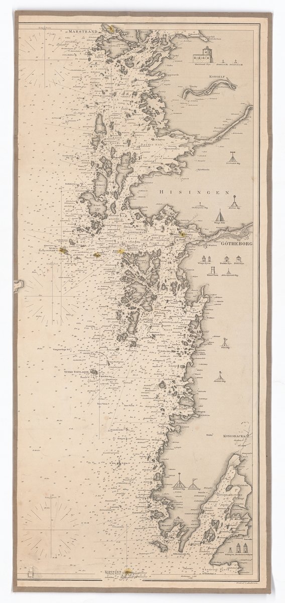
The image shows an old map of the British Isles, with a white background.
Read full description
The image shows an old map of the British Isles, with a white background. It is a detailed map, showing the various islands and bodies of water, as well as the names of the cities and towns within the region. The map is framed in a photo frame, giving it a classic look.