Public domain photos
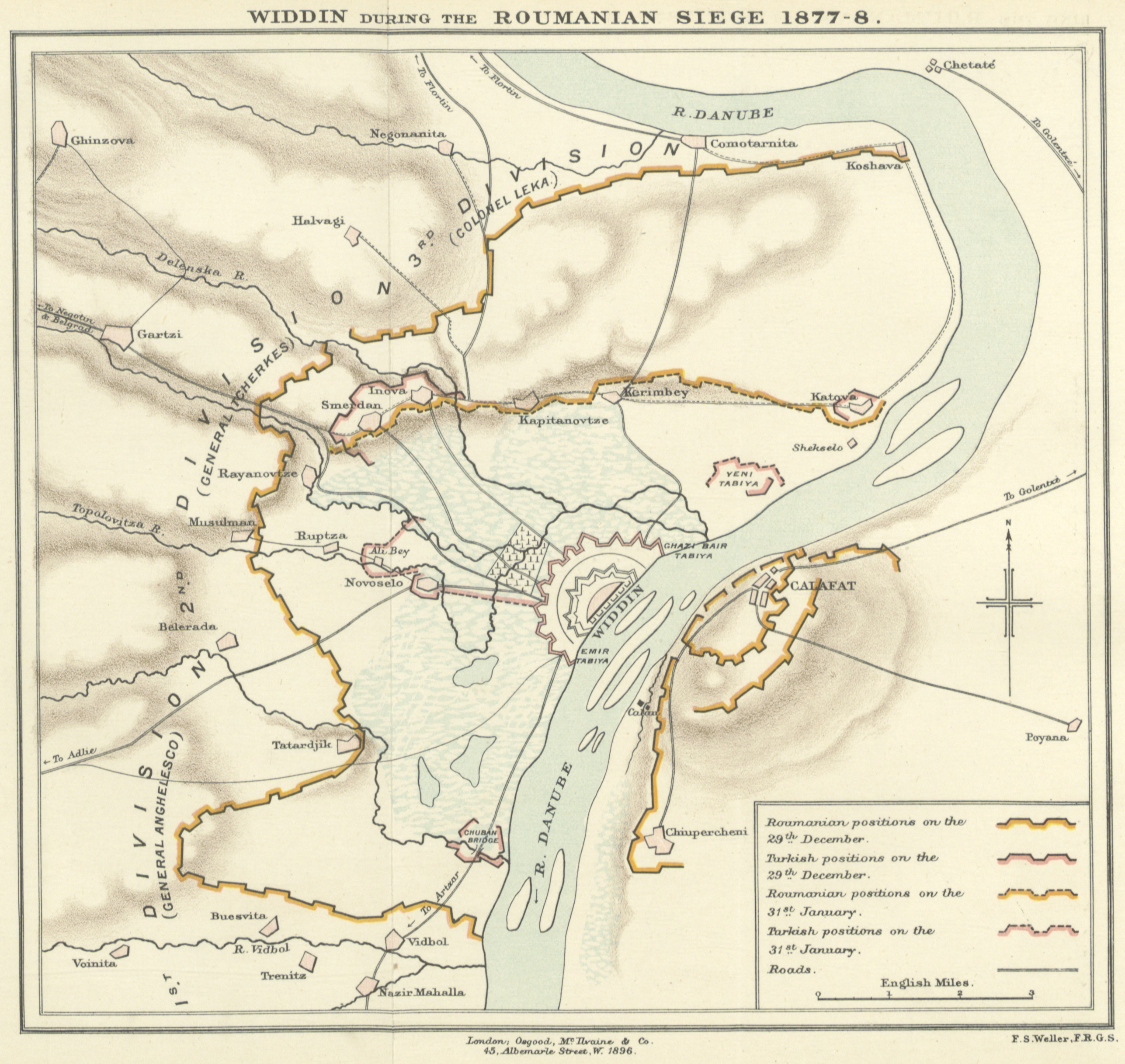
The image shows a poster with a map of the Widdin during the Romanian Siege of 1877-8. The map is detailed and shows the various cities, towns, and other geographical features of the area. The text on the poster provides additional information about the siege, such as the date, time, and location.
 Open in library