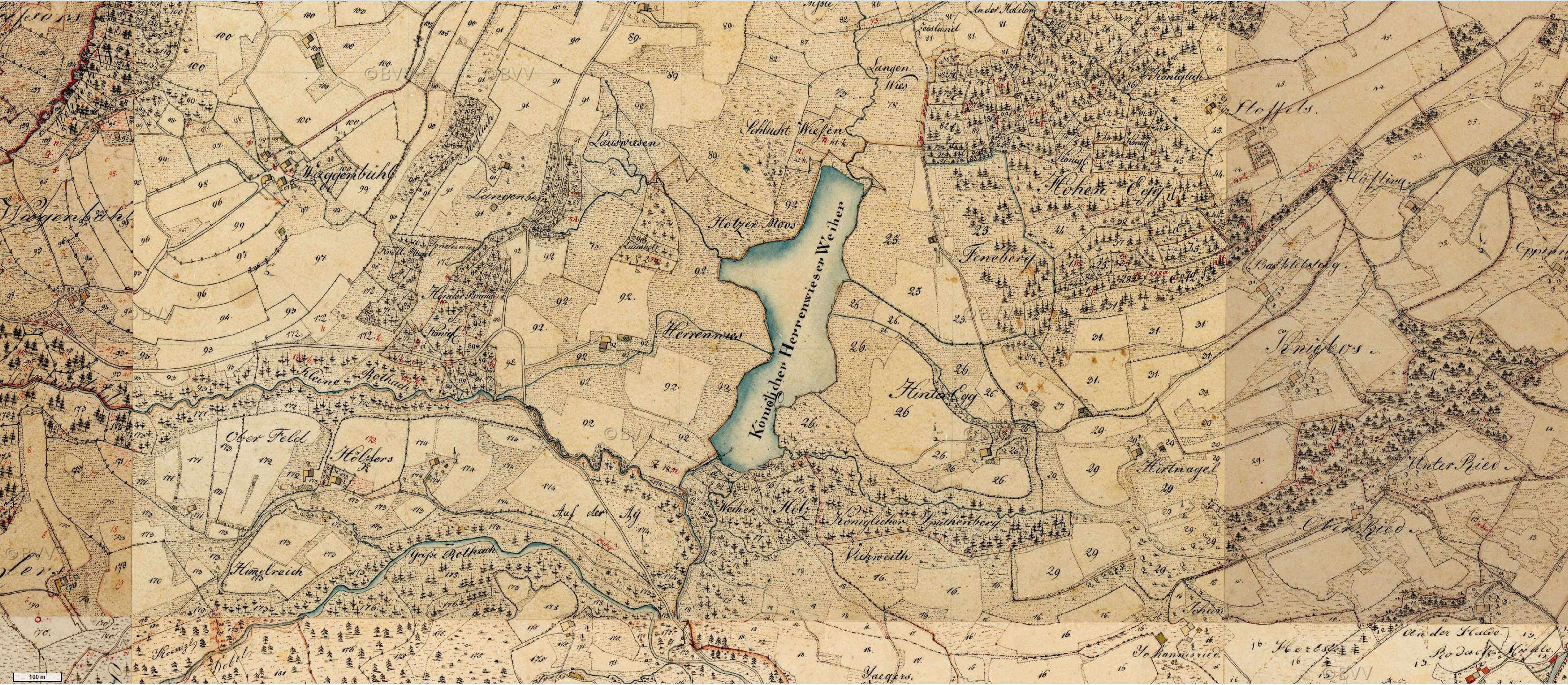
The image shows an old map of the city of London, England, with a river running through it.
Read full description
The image shows an old map of the city of London, England, with a river running through it. The map is from 1885 and is a topographic representation of the area, with text at the top and bottom of the image. The river is located in the center of the map, surrounded by the city's streets and buildings.