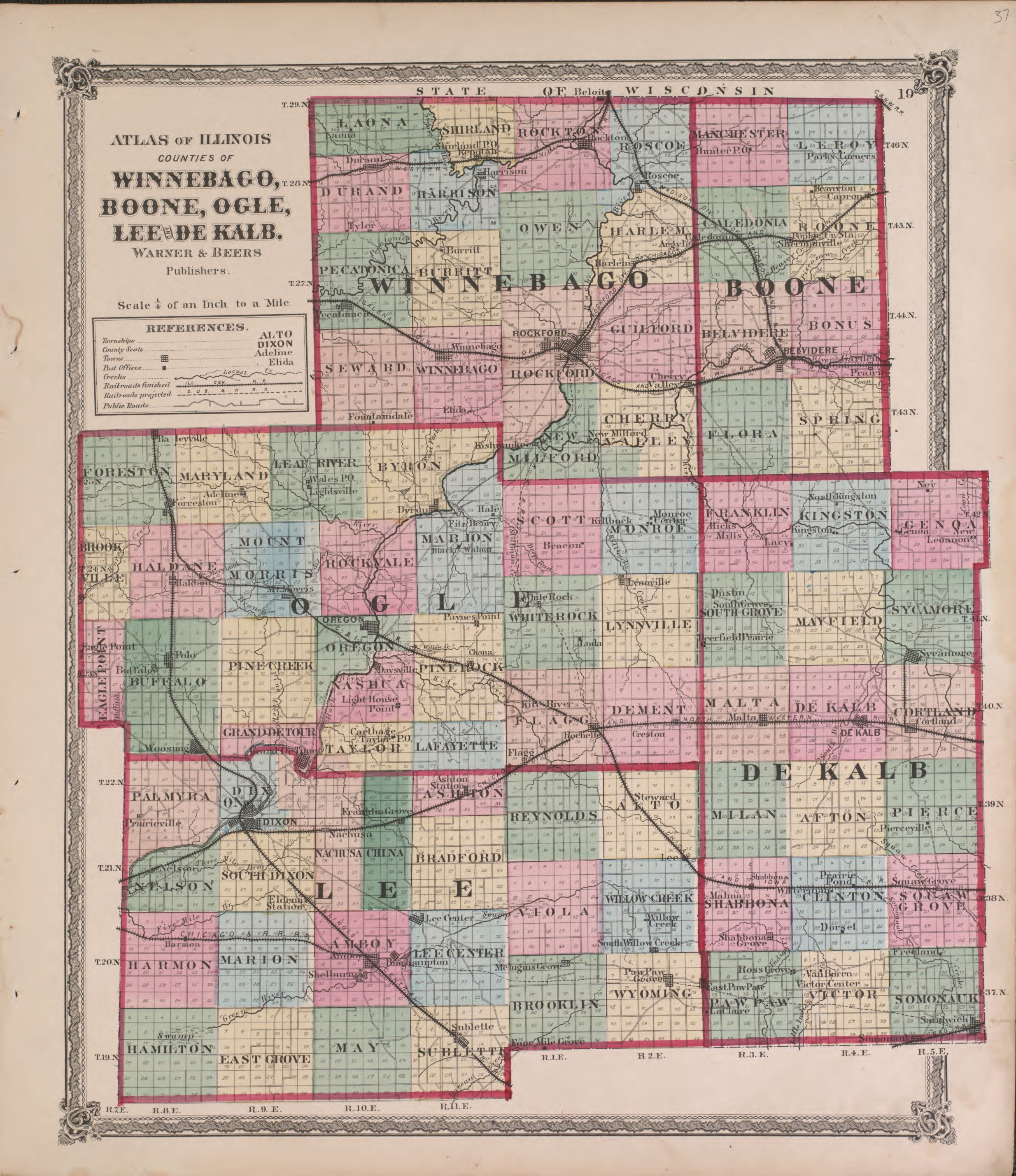
The image shows an old map of the state of Illinois, with the counties of Winnebago, Boone, Ogle, and Leede Kale clearly visible.
Read full description
The image shows an old map of the state of Illinois, with the counties of Winnebago, Boone, Ogle, and Leede Kale clearly visible. The map is printed on a paper with text detailing the various counties and their boundaries.