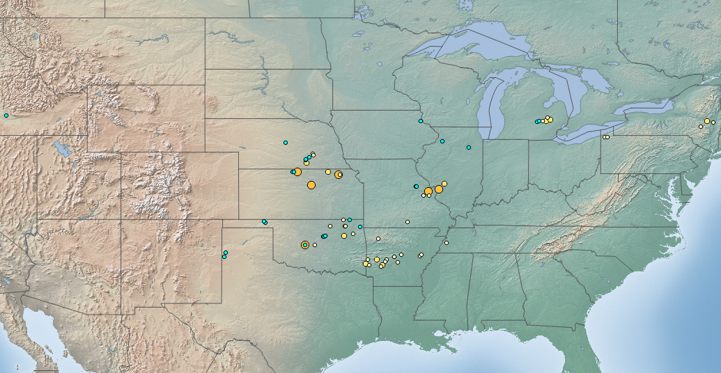
The image shows a map of the United States with numerous locations of earthquakes marked on it.
Read full description
The image shows a map of the United States with numerous locations of earthquakes marked on it. The map is filled with various shades of green, indicating the different levels of seismic activity in each state. The locations are labeled with their names and are clearly visible, allowing viewers to easily identify the locations of the earthquakes.