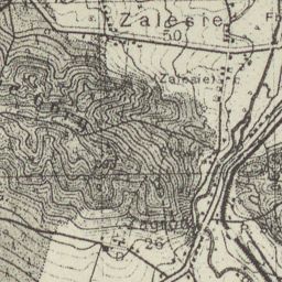
The image shows an old topographic map of the area of Zalesie, with text written on it.
Read full description
The image shows an old topographic map of the area of Zalesie, with text written on it. The map is detailed, showing the contours of the terrain, as well as the elevation of the surrounding area. The text on the map provides additional information about the area, such as the names of the towns, cities, and other features.