Public domain photos
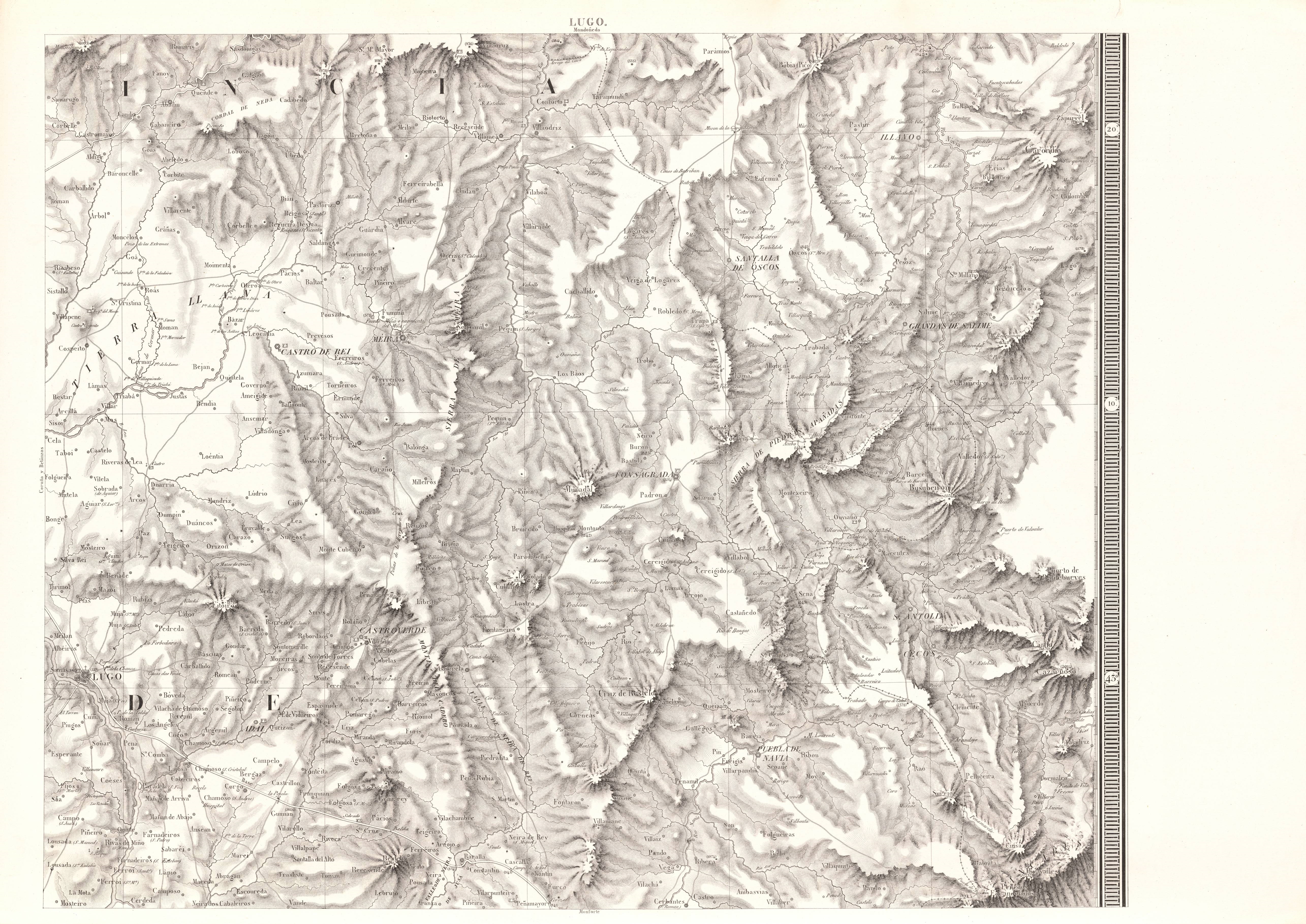
The image shows an old topographic map of the British Columbia region, with the topography of the area clearly visible. The map is printed on a paper, giving it a classic and timeless look.
 Open in library
Public domain photos
Open in library