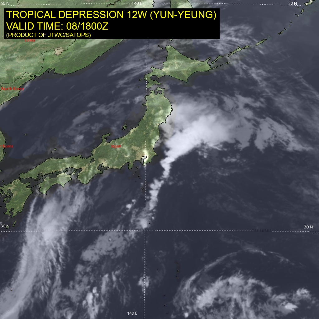
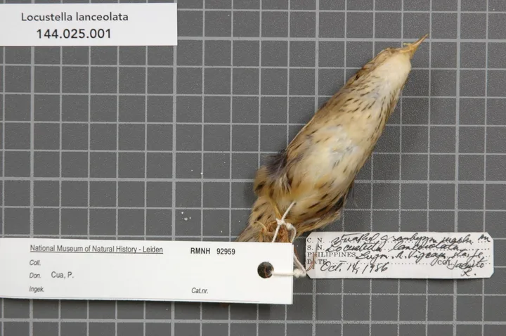
The image shows a satellite view of the tropical depression 12w yun-yeung, with a map of the region and text at the top and bottom of the image.
Read full description
The image shows a satellite view of the tropical depression 12w yun-yeung, with a map of the region and text at the top and bottom of the image. The map shows the extent of the typhoon, with its swirling clouds and strong winds, and the text provides additional information about the storm.