Public domain photos
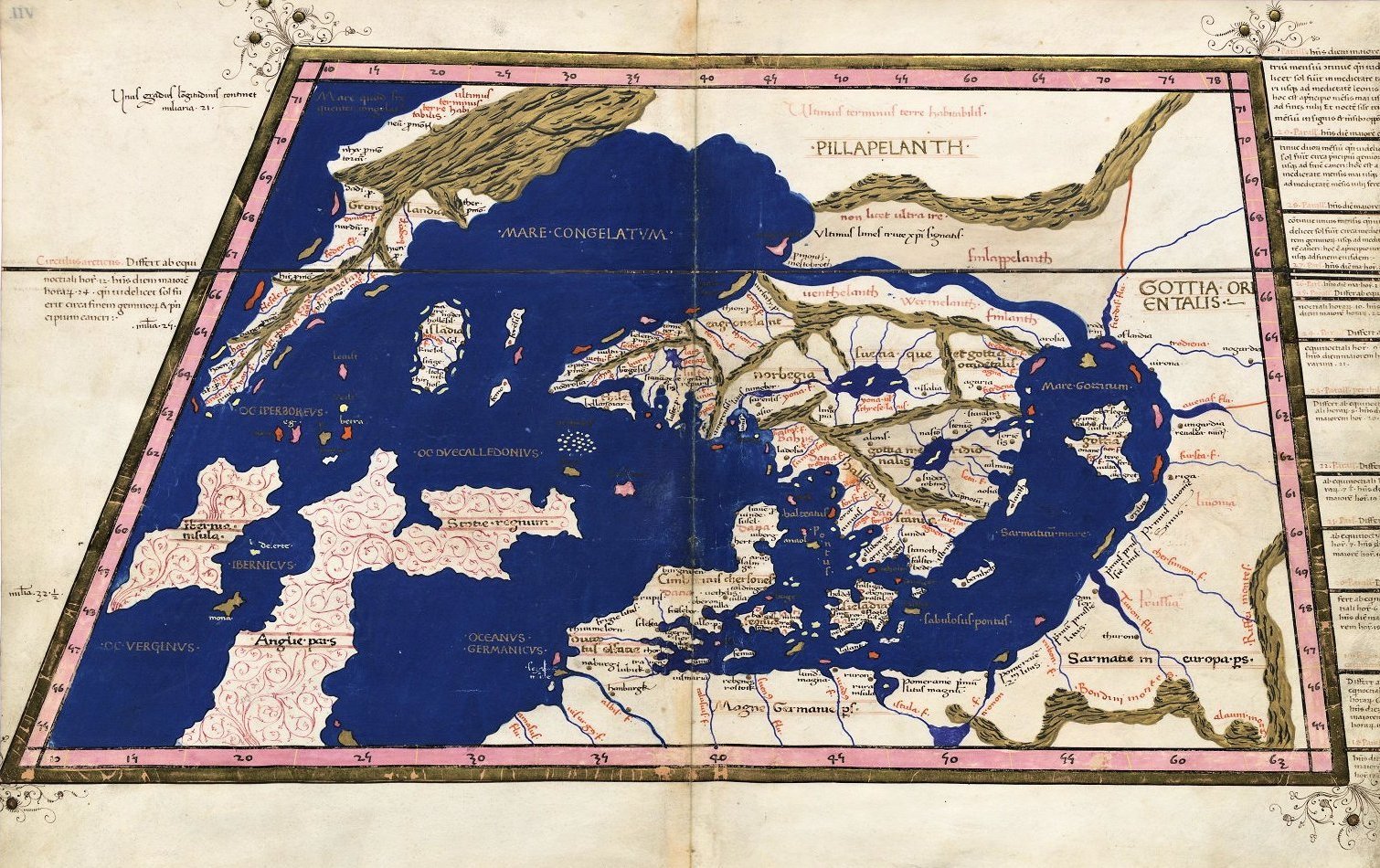
The image shows an old map of the British Isles, with text written on it. It is a detailed map, showing the various geographical features of the region, such as rivers, mountains, and cities, as well as the extent of the Mediterranean Sea. The map is likely from the 16th century, as indicated by the text on the map.
 Open in library