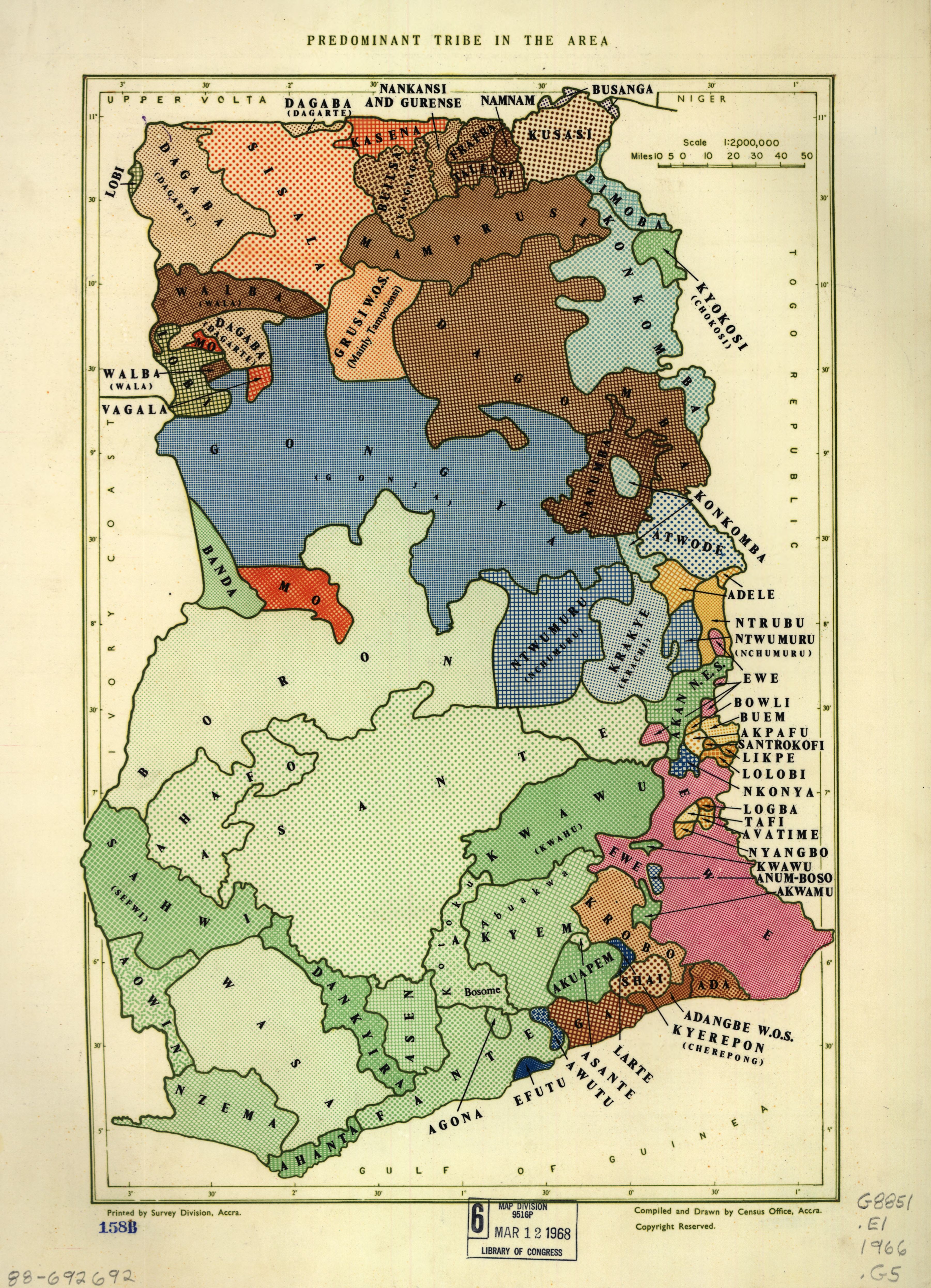
The image shows an old map of the Democratic Republic of the Congo, with text and numbers indicating the various tribes of the region.
Read full description
The image shows an old map of the Democratic Republic of the Congo, with text and numbers indicating the various tribes of the region. The map is filled with intricate details, such as the names of the tribes, their borders, and the colors used to differentiate them. The text on the map provides further information about the tribes and their boundaries.