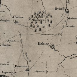
The image shows an old map of the city of Kobiez, Poland, with text and numbers indicating the extent of the Polish Empire.
Read full description
The image shows an old map of the city of Kobiez, Poland, with text and numbers indicating the extent of the Polish Empire. It is a detailed map, showing the city's streets, buildings, and other landmarks, as well as the surrounding area. The text on the map provides further information about the city, such as its population, history, and culture.