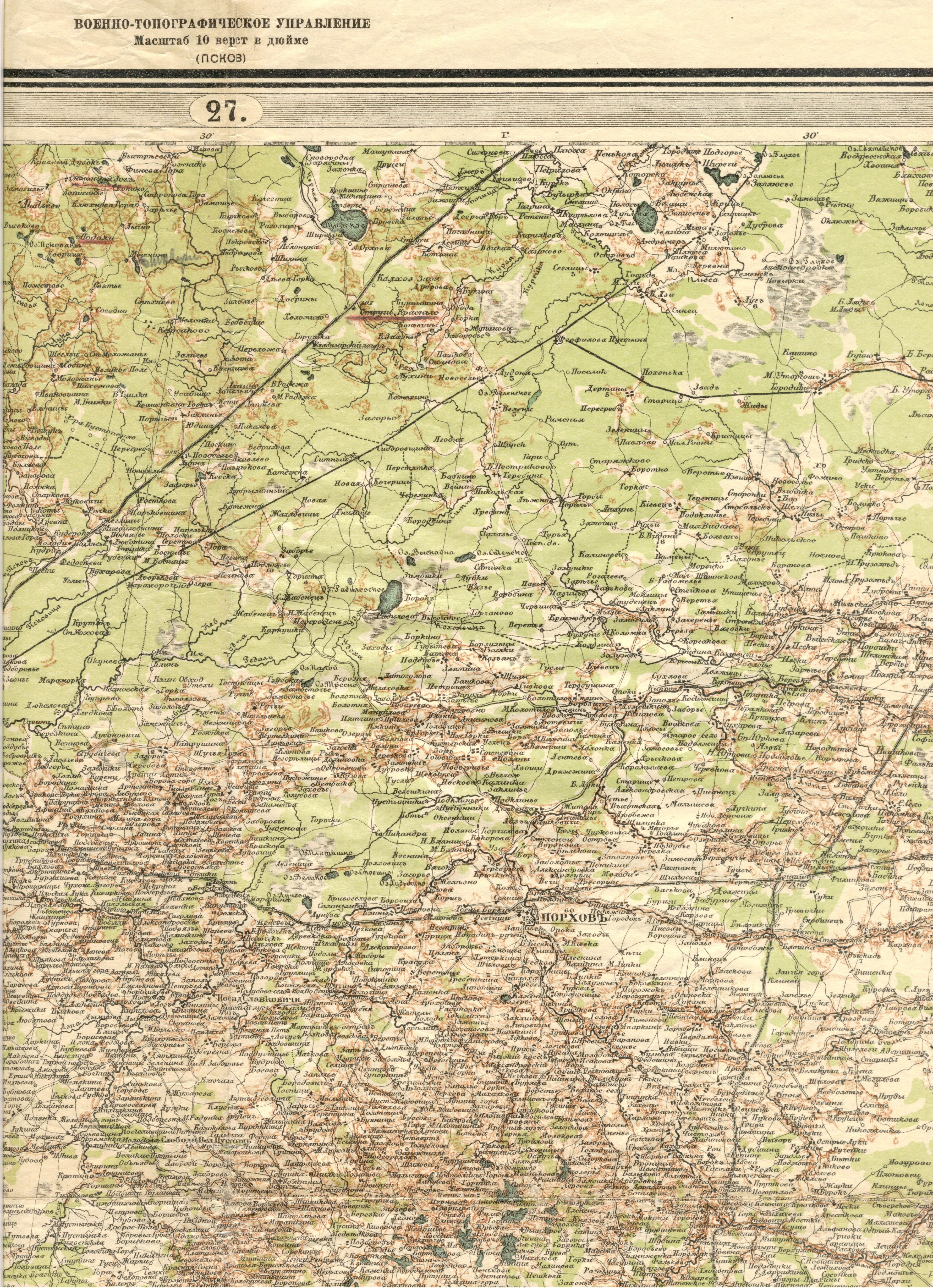
The image shows an old map of the British Empire in the 19th century.
Read full description
The image shows an old map of the British Empire in the 19th century. It is a detailed map with text at the top and bottom of the image. The map is filled with intricate details, such as roads, cities, and other geographical features. The colors used are mostly shades of green and brown, giving the map a vintage feel.