Public domain photos
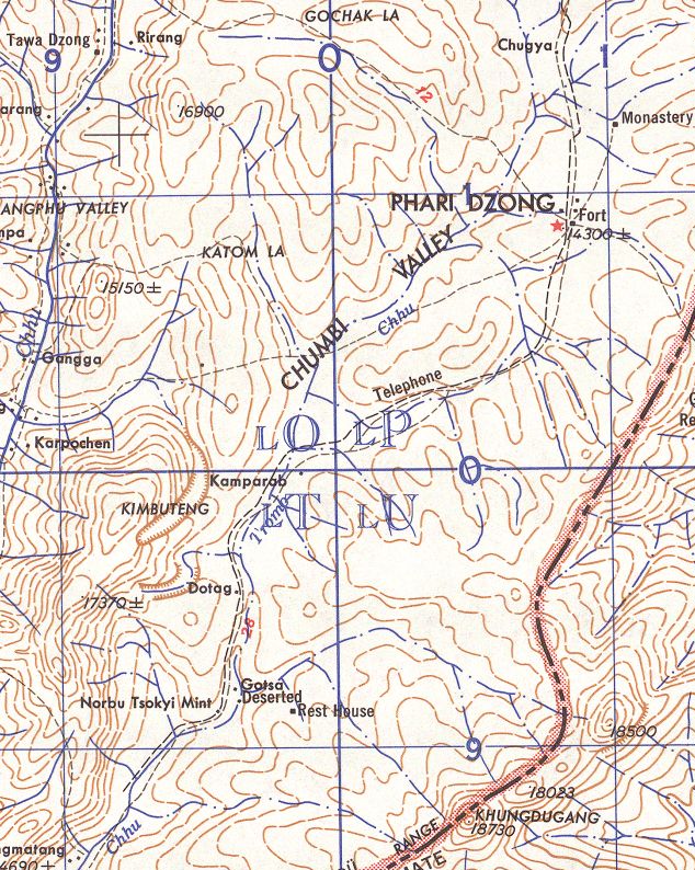
The image shows a topographic map of the area, with text and lines indicating the route to the top of the mountain. The map is detailed, showing the various elevations and contours of the terrain, as well as the various landmarks and points of interest along the way.
 Open in library