Public domain photos
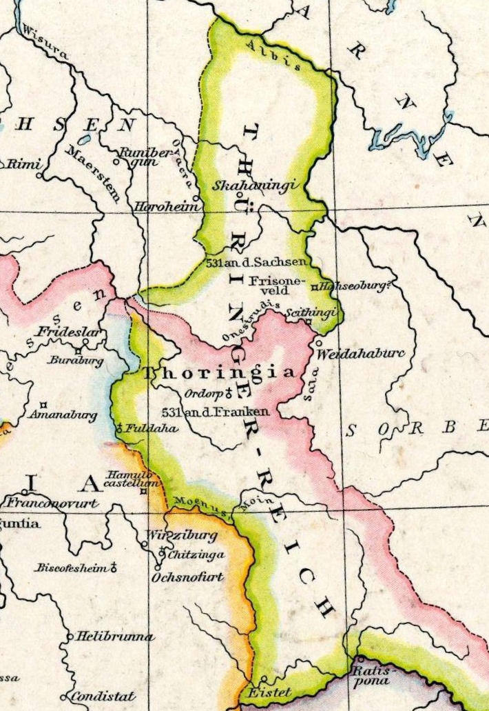
The image shows a map of Germany from the 16th century, depicting the extent of the Rhine River. It is a detailed map, showing the various cities, towns, rivers, and other geographical features of the region. The colors used are mostly shades of blue, green, and yellow, with some hints of red and orange. The text on the map is written in black, and the borders of the map are clearly visible.
 Open in library