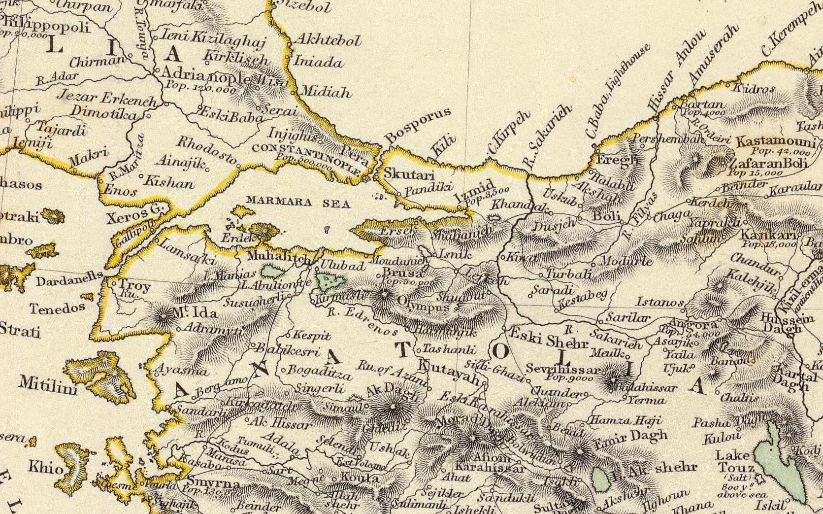
The image shows an old map of the British Isles, with text and numbers indicating the extent of the Roman Empire.
Read full description
The image shows an old map of the British Isles, with text and numbers indicating the extent of the Roman Empire. It is a detailed map, showing the various geographical features of the region, such as rivers, mountains, and cities, as well as the major cities and towns within the region. The colors used are mostly shades of blue and green, with some yellow and red accents. The map also includes labels for cities, towns, and other geographical features.