Public domain photos
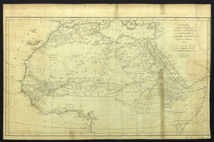
The image shows an old map of the British Empire in the Middle East and Africa, with a black background. The map is a topographic representation of the geography of the North African continent, with text detailing the various countries and regions of the continent.
 Open in library