Public domain photos
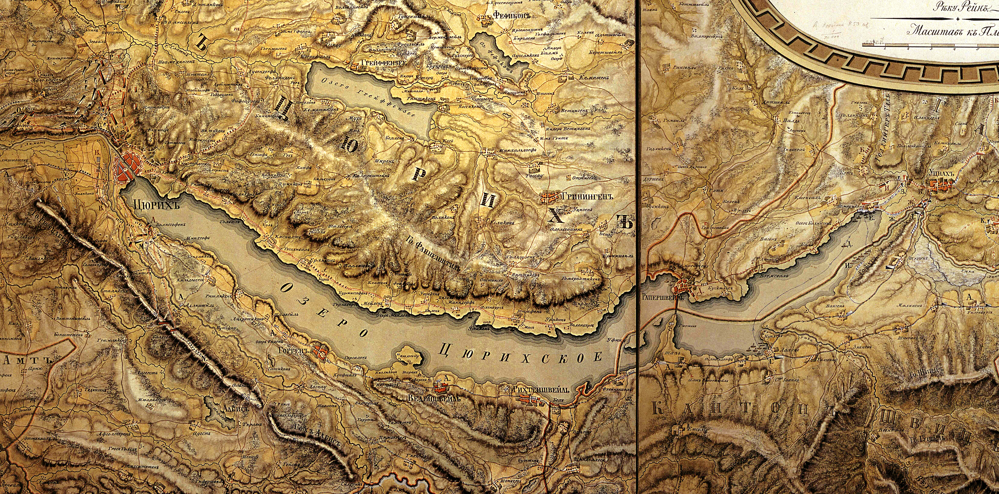
The image shows a topographic map of the British Isles, with a border around it. The map is detailed, showing the various geographical features of the area, such as mountains, rivers, and cities. The border around the map adds a decorative touch, making it a great addition to any wall.
 Open in library