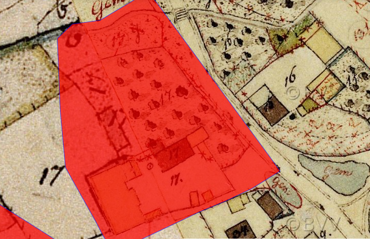
The image shows an old map with a red square in the middle of it, which appears to be a map of a city.
Read full description
The image shows an old map with a red square in the middle of it, which appears to be a map of a city. The map is zoomed in, allowing us to see the intricate details of the city, such as the buildings, roads, and other features. The red square is likely the location of the proposed site, as indicated by the text at the bottom of the image.