Public domain photos
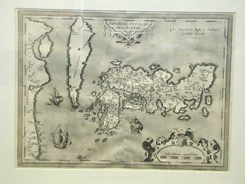
The image shows an old map of the British Virgin Islands in the 17th century, framed in a photo frame. The map is detailed and shows the various islands and bodies of water, as well as the names of the countries and their capitals.
 Open in library