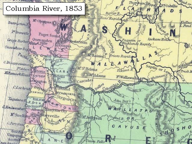
The image shows a map of the Columbia River in 1853, with text at the top and bottom of the image.
Read full description
The image shows a map of the Columbia River in 1853, with text at the top and bottom of the image. The map is detailed, showing the river's boundaries, cities, and other geographical features.