Public domain photos
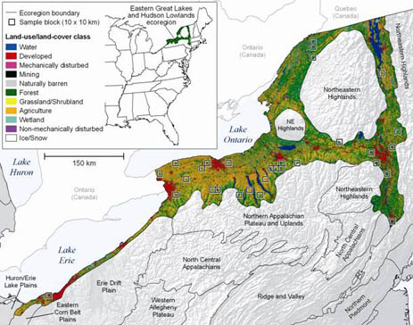
The image shows a map of the United States with the extent of the Great Lakes clearly marked. The map is filled with various shades of green, indicating the varying levels of land use in the area. The text on the map provides additional information about the land use, such as the type of land used, the number of trees and shrubs, and the location of the lakes.
 Open in library