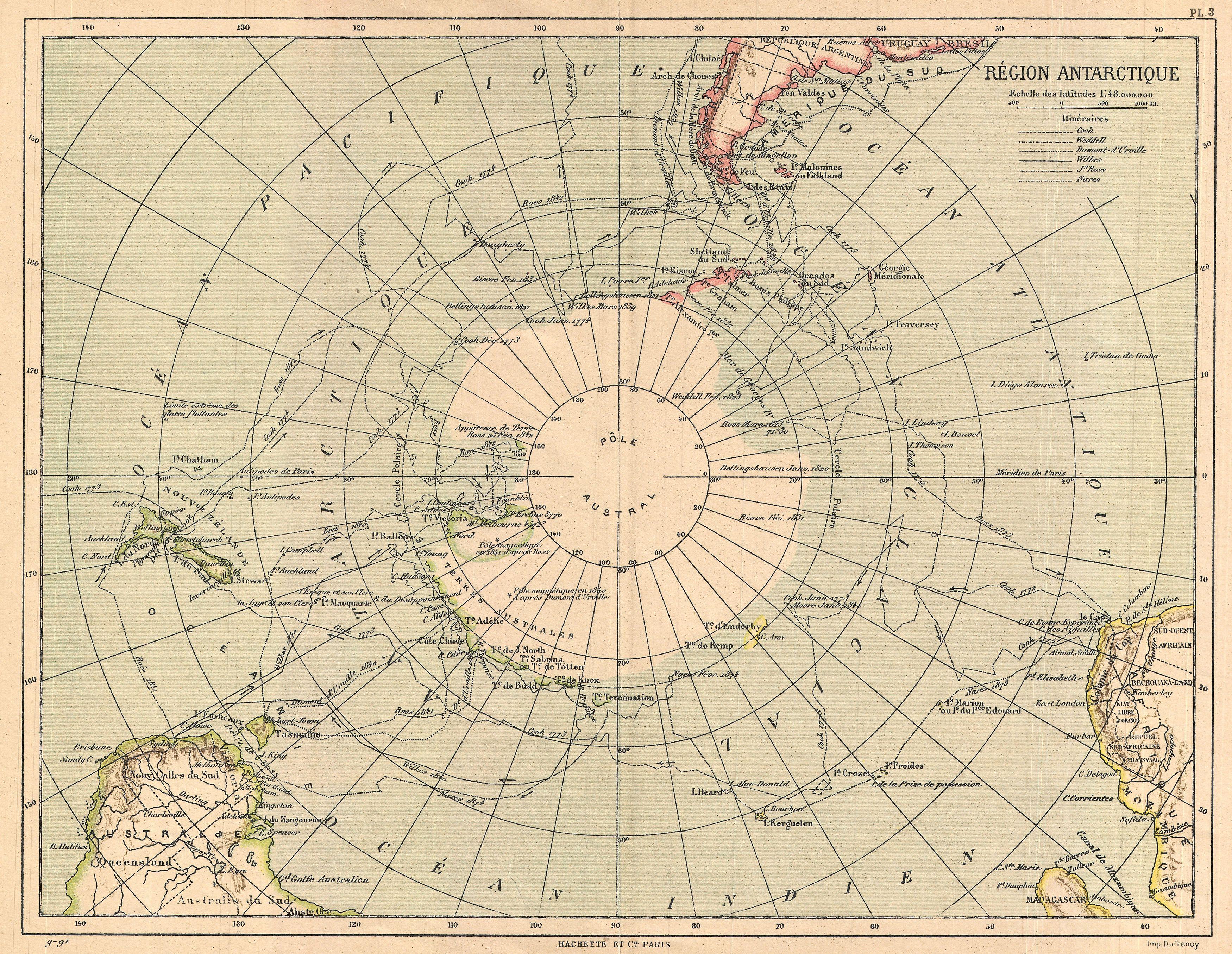
The image shows an old map of the Arctic region with the extent of the arctic circle in the center.
Read full description
The image shows an old map of the Arctic region with the extent of the arctic circle in the center. The map is printed on a paper with text at the top and bottom. The circle is surrounded by a thin black border, and the map is filled with various shades of blue and green, representing the different regions of the continent. The text on the paper provides additional information about the map, such as the names of cities, rivers, and other geographical features.