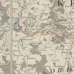
The image shows an old map of Poland from the 19th century, depicting the extent of the British Empire.
Read full description
The image shows an old map of Poland from the 19th century, depicting the extent of the British Empire. It is a detailed map, showing the various cities, towns, rivers, and other geographical features of the region.