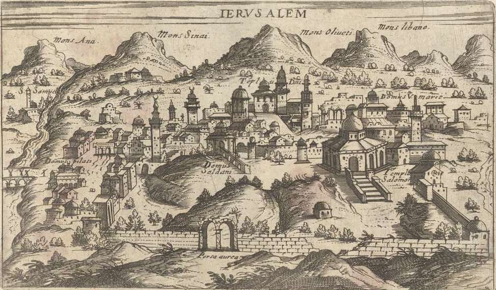
The image shows an old map of the city of Jerusalem, with buildings, trees, hills, and text written on it.
Read full description
The image shows an old map of the city of Jerusalem, with buildings, trees, hills, and text written on it. The map is from the 16th century and is a detailed representation of the town, with its buildings, hills and trees clearly visible. The text on the map likely provides further information about the city, such as its history, culture, and other features.