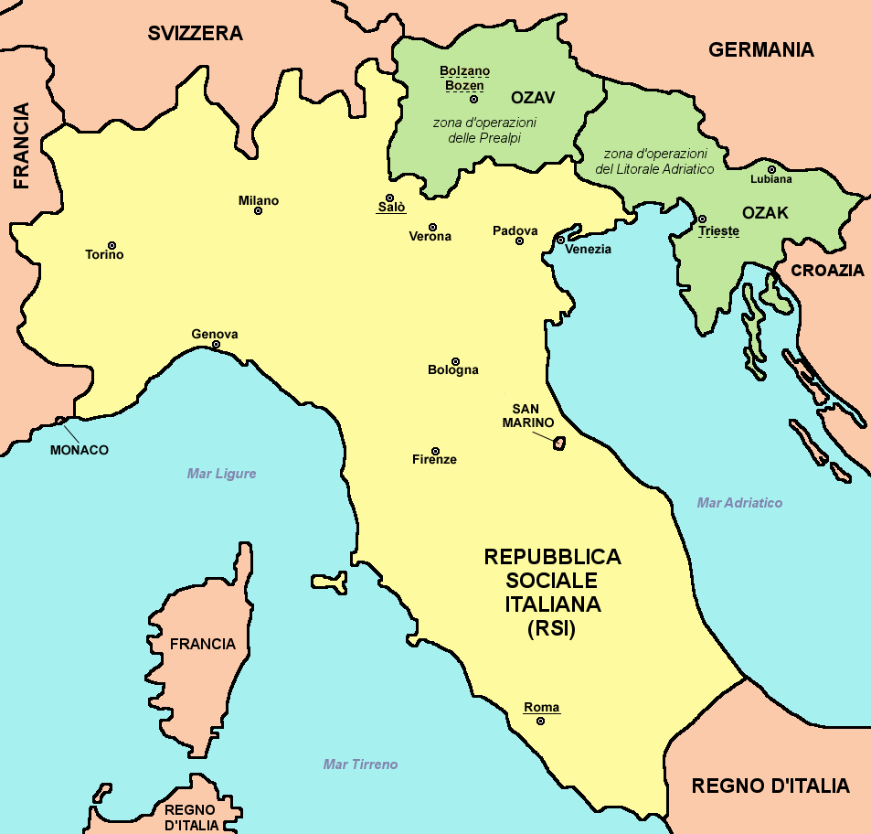
The image shows a political map of Italy, with its provinces and their capitals clearly visible.
Read full description
The image shows a political map of Italy, with its provinces and their capitals clearly visible. It is a detailed map, showing the various cities, rivers, and other geographical features of the country. The colors used are mostly shades of blue, green, and yellow, giving the map a vibrant and lively feel.